FG to deploy geospatial technology for dev’t planning
The federal government has disclosed plans to use geospatial data to plan equal distribution of resources in the country. The Minister of Budget and Economic Planning, Sen. Abubakar Atiku Bagudu, said at the geospatial ecosystem roundtable yesterday in Abuja, that the use of geospatial technology for planning and implementation is essential for effectively delivering national […]

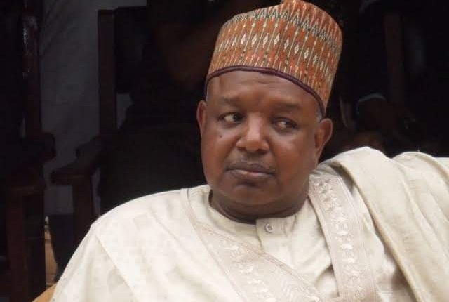
Kebbi State governor, Abubakar Atiku Bagudu
The federal government has disclosed plans to use geospatial data to plan equal distribution of resources in the country.
The Minister of Budget and Economic Planning, Sen. Abubakar Atiku Bagudu, said at the geospatial ecosystem roundtable yesterday in Abuja, that the use of geospatial technology for planning and implementation is essential for effectively delivering national development aspirations.
He said it would help in terms of equitable distribution of infrastructure, education, security and health services, while taking into consideration population demography, including gender and other vulnerabilities.
He added that the choice of this method is to improve social welfare inclusion and security in the country.
“The ministry plays a critical role in mainstreaming and coordinating the Geo-Referenced Infrastructure and Demographic Data for development into national projects and programmes, with the hope of it being adopted at the sub-national level as well,” he stated.
The Permanent Secretary of the ministry, Nebolisa Analo, said the project, termed GRID3, aimed at facilitating the production, collection, utilization and dissemination of high-resolution data on population distribution, administrative-based maps of settlements, development infrastructure and sub-national boundaries to support the achievement of national development priorities, the Sustainable Development Goals (SDGs) and other humanitarian efforts.
He stressed the central role geospatial technology plays in development planning as it facilitates the use of Management Information System/Geographical Information System (MIS/GIS) and constitutes an important component of National Monitoring and Evaluation system.
“The management of the geospatial technology is vital in planning and performance management of government programmes and projects, especially in agriculture, health care delivery, disaster management, security and infrastructure sectors.”
On his part, the Country Manager of GRID3, Nazir Haliru, said it is very important to have up-to-date population data for Nigeria to implement its development plans.
